
 Implementing California Senate Bill 743 in the WRCOG Region
Conventional approaches to transportation impact analysis tend to focus on vehicle level of service (LOS) and similar metrics related to vehicle delay. This focus explains how land use and transportation projects affect driving instead of how those projects change the amount of driving that will occur. While changes to driving conditions that increase travel times are an important consideration for traffic operations and management, these changes do not fully describe environmental effects associated with fuel consumption, emissions, and public health.
SB 743 changes the focus of transportation impact analysis for the California Environmental Quality Act (CEQA) from measuring impacts to drivers, to measuring the impact of driving. The change is being made by replacing LOS with vehicle miles of travel (VMT) and providing streamlined review of land use and transportation projects that will help reduce future VMT growth. This shift in transportation impact focus is expected to better align transportation impact analysis and mitigation outcomes with the State’s goals to reduce greenhouse gas (GHG) emissions, encourage infill development, and improve public health through more active transportation. To assist lead agencies in western Riverside County with SB 743 implementation, the Western Riverside Council of Governments (WRCOG), with support from the Southern California Association of Governments (SCAG), developed implementation guidance and a VMT impact screening tool. The guidance material is contained in the WRCOG SB 743 Implementation Pathway Document Package, while the screening tool is introduced below and accessed at https://fehrandpeers.maps.arcgis.com/apps/webappviewer/index.html?id=4e34ad3196464c8086c881189237b25c.
In January 2019, the Natural Resources Agency finalized updates to the CEQA Guidelines including the incorporation of SB 743 modifications. The Guidelines changes were approved by the Office of Administrative Law and are now in effect. Specific to SB 743, Section 15064.3(c) states, “A lead agency may elect to be governed by the provisions of this section immediately. Beginning on July 1, 2020, the provisions of this section shall apply statewide.”
VMT Mitigation Spotlight
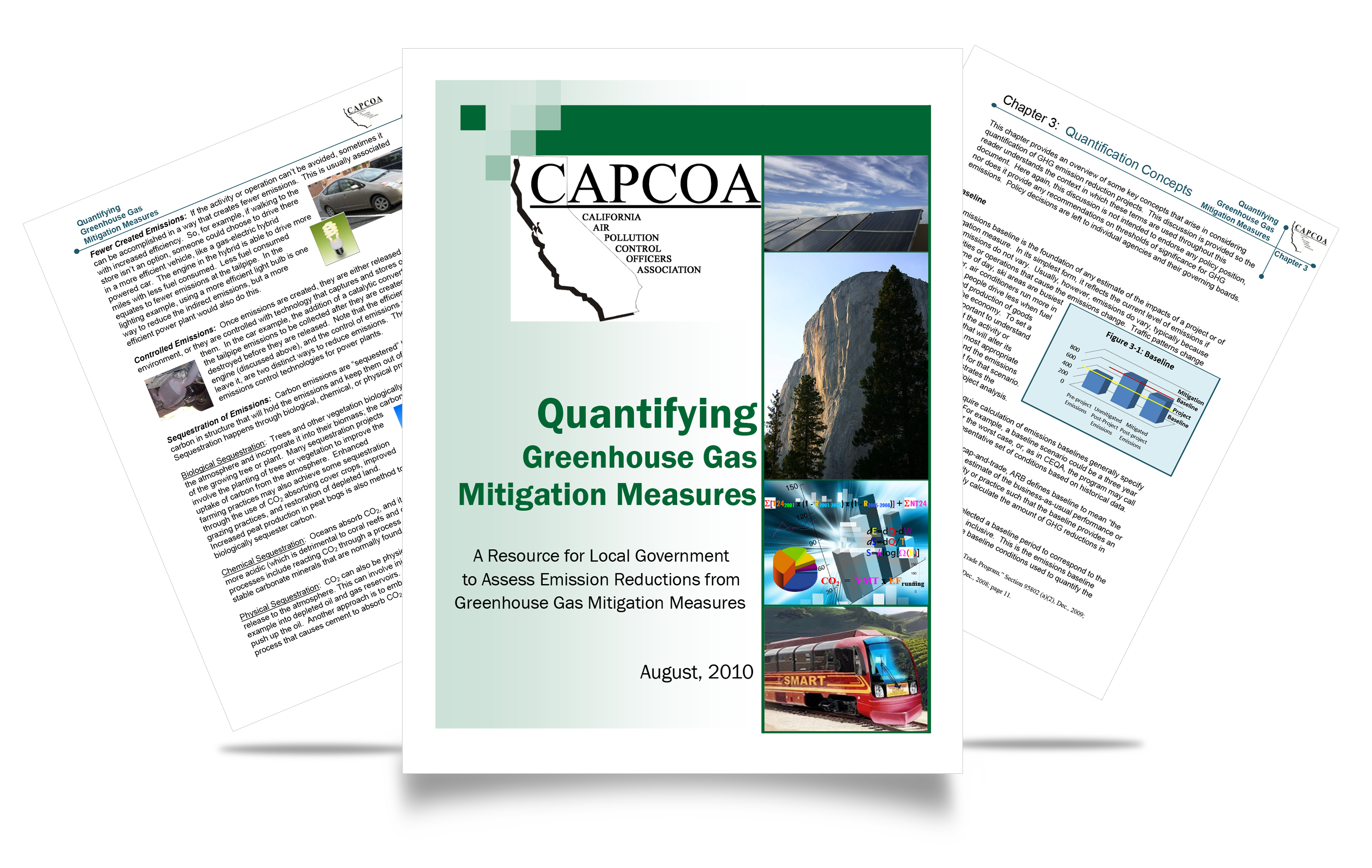
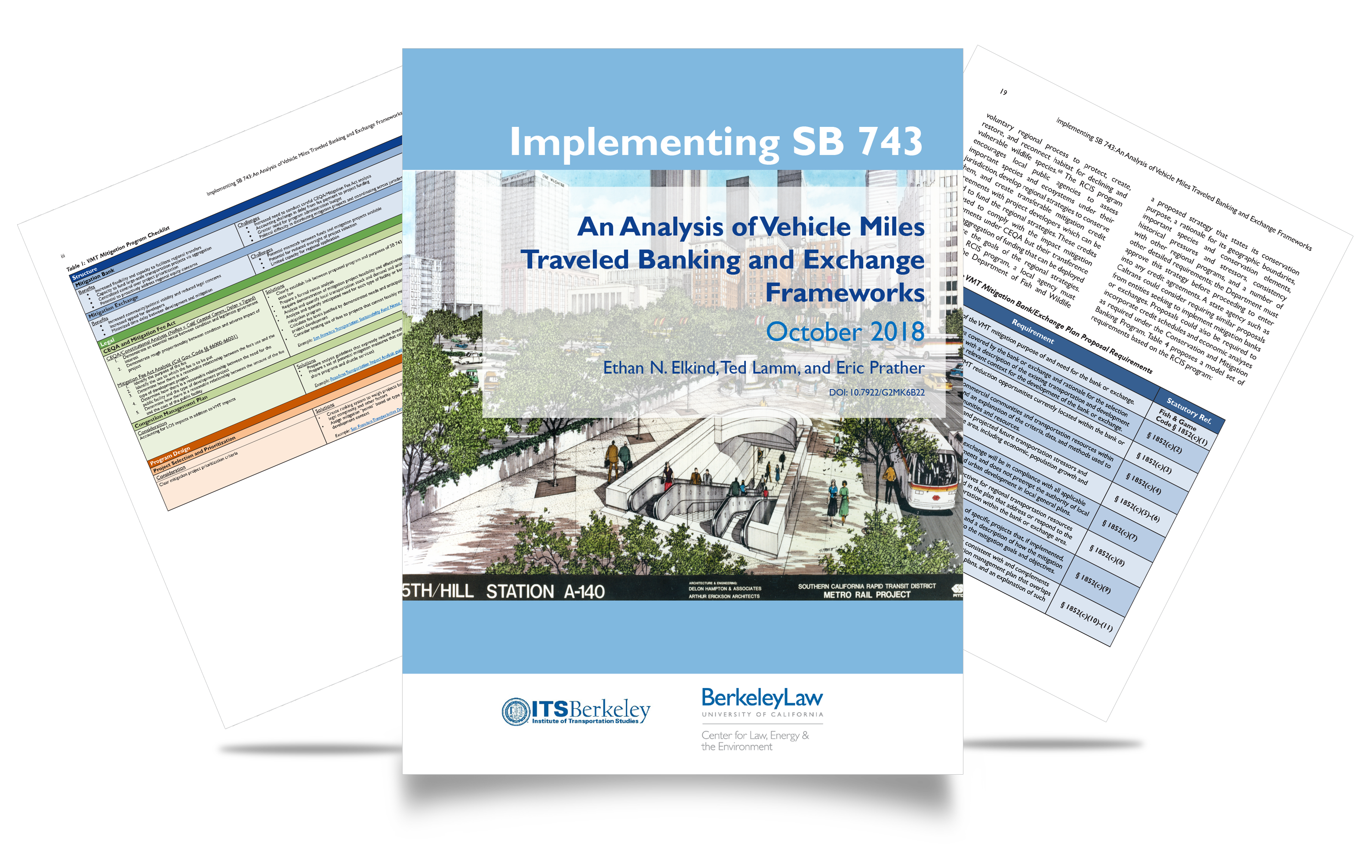
With SB 743 implementation becoming mandatory this summer, lead agencies have already started using VMT and questions are quickly emerging about VMT mitigation. One of these questions asks about the reliability of project site transportation demand management (TDM) mitigation strategies, such as those contained in Quantifying Greenhouse Gas Mitigation Measures (CAPCOA, 2010). The simple answer is that the effectiveness of these strategies depends on the performance of building tenants that can change over time. Ensuring effectiveness requires ongoing monitoring and strategy adjustment. This answer has led to growing interest in program-based approaches to mitigation that can improve mitigation certainty. In 2019, U.C. Berkeley released a white paper describing the new concept of VMT mitigation banks and exchanges. Fehr & Peers, in collaboration with WRCOG, recently released a complement to the U.C. Berkeley paper that directly compares VMT mitigation banks and exchanges to traditional impact fee programs for deeper understanding. Further, the new white paper also contains specifics on potential legal requirements, and outlines the creation and implementation steps for each type of program with procedural flow charts. Comments or questions about these emerging mitigation concepts are welcome and may be shared with Ron Milam at r.milam@fehrandpeers.com.

Introducing VMT as the New Metric of Analysis
What is VMT?
For those new to VMT analysis, this short video explains a few basic components of VMT. We routinely analyze VMT for air quality and greenhouse gas impact analysis. SB 743 adds VMT to the transportation impact analysis of CEQA documents. If you find this helpful, let us know what other VMT related information you’d like to see in this format.
SB 743 VMT Impact Screening Tool
The purpose of this web map is to serve as a screening tool for potential VMT impacts associated with select land use projects in the WRCOG planning area in compliance with the SB 743 changes to the CEQA statute and its associated CEQA Guidelines. As recommended in the Technical Advisory on Evaluating Transportation Impacts in CEQA, California Governor’s Office of Planning and Research, December 2018, screening thresholds can be used to quickly identify when a project may cause a less-than-significant VMT impact. The Technical Advisory specifically identifies the use of map-based screening for residential and office projects based on the following criteria:
Projects located within a transit priority area (TPA) may be presumed to have a less-than-significant VMT impact. This presumption may not be appropriate if the project:
- Has a Floor Area Ratio (FAR) of less than 0.75;
- Includes more parking for use by residents, customers, or employees of the project than required by the jurisdiction (if the jurisdiction requires the project to supply parking);
- Is inconsistent with the applicable Sustainable Communities Strategy (as determined by the lead agency, with input from the Metropolitan Planning Organization); or
- Replaces affordable residential units with a smaller number of moderate- or high-income residential units.
Where do the guidelines apply (TPAs in California)?
![]() Text of New Section 15064.3 (b)(1) Land Use Projects. Vehicle miles traveled exceeding an applicable threshold of significance may indicate a significant impact. Generally, projects within one-half mile of either an existing major transit stop or a stop along an existing high quality transit corridor should be presumed to cause a less than significant transportation impact. Projects that decrease vehicle miles traveled in the project area compared to existing conditions should be presumed to have a less than significant transportation impact.
Text of New Section 15064.3 (b)(1) Land Use Projects. Vehicle miles traveled exceeding an applicable threshold of significance may indicate a significant impact. Generally, projects within one-half mile of either an existing major transit stop or a stop along an existing high quality transit corridor should be presumed to cause a less than significant transportation impact. Projects that decrease vehicle miles traveled in the project area compared to existing conditions should be presumed to have a less than significant transportation impact.
Click image to enlarge
Projects located within a low VMT generating traffic analysis zone (TAZ) may be presumed to have a less than significant VMT impact.
This presumption may not be appropriate if the project land uses would alter the existing built environment in such a way as to increase the rate or length of vehicle trips. To qualify as a low VMT generating TAZ under the Technical Advisory recommendations, residential land uses in the TAZ would have to generate VMT per resident that is 15 percent or more below baseline conditions compared to the citywide or regionwide average. Office land uses would have to generate VMT per worker that is 15 percent or more below baseline conditions compared to the regionwide average. The WRCOG web app screening tool can be set up to use the Technical Advisory or any lead agency preferred threshold. The default setting in the tool defines low VMT generating TAZs as those that generate total VMT per service population less than the base year (2012) model jurisdictional average.
In addition to residential and office land use projects, other employment-related and mixed-use land use projects may qualify for the use of screening if the project can reasonably be expected to generate VMT per resident, per worker, or per service population that is similar to the existing land uses in the TPA or the low generating VMT TAZ.
The use of the screening tool is only intended for assessing VMT impacts and does not substitute for impact analysis for other transportation system components such as transit, bicycle/scooter, and pedestrian.
User Instructions
Follow the web map instructions to select the project parcel to determine if the project is located in a TPA or a low VMT generating TAZ. The default threshold for low VMT generating TAZs is baseline average VMT per service population for the TAZ’s jurisdiction.
Screening based on other thresholds can also be assessed. Contact WRCOG for model data associated with alternative thresholds.
Note that VMT provided by this tool does not consider trip length beyond the regional model boundaries. VMT for TAZs and jurisdictions near the model boundaries may be truncated. In these cases, additional VMT analysis and modeling may be required as explained below.
Land Use Project VMT Analysis and Forecasting
Projects not screened through this tool should complete VMT analysis and forecasting through the RIVTAM model to determine if they have a significant VMT impact. This analysis should include ‘project generated VMT’ and ‘project effect on VMT’ estimates for the project TAZ or TAZs under the following scenarios.
- Baseline conditions – This data is already available in the web map.
- Baseline plus project for the project – The project land use would be added to the project TAZ or a separate TAZ would be created to contain the project land uses. A full model run would be performed and VMT changes would be isolated for the project TAZ and across the full model network. The model output must include reasonableness checks of the production and attraction balancing to ensure the project effect is accurately captured. If this scenario results in a less-than-significant impact, then additional cumulative scenario analysis may not be required (more information about this outcome can be found in the Thresholds Evaluation Memo).
- Cumulative no project – 2040 Scenario model input files are available from WRCOG upon request.
- Cumulative plus project – The project land use would either be added to the project TAZ or a separate TAZ would be created to contain the project land uses. The addition of project land uses should be accompanied by a reallocation of a similar amount of land use from other TAZs. Land use projects will generally not change the cumulative no project control totals for population and employment growth. Instead, they will influence the land use supply through changes in general plan land use designations and zoning. If project land uses are simply added to the cumulative no project scenario, then the analysis should reflect this limitation in the methodology and acknowledge that the analysis may overestimate the project’s effect on VMT.
The model output should include total VMT, which includes all vehicle trips and trip purposes, and VMT per service population (population plus employment). Total VMT is needed as an input for air quality, greenhouse gas (GHG), and energy impact analysis while total VMT per service population is the preferred form for transportation impact analysis.
More information on the modeling process and requirements for analyzing project and cumulative VMT impacts can be found in the following documents:
Mitigation
If a project is determined to have a significant impact, mitigation measures are required to lessen the impact to the extent feasible as determined by the lead agency. Within the WRCOG area, strategies to reduce VMT are limited due to the low-density land use pattern and reliance on private vehicles. The following strategies may be best suited to the WRCOG area and are recommended to reduce VMT and lessen significant impacts:
- Increase diversity of land uses
- Provide pedestrian network improvements
- Provide traffic calming measures and low-stress bicycle network improvements
- Implement car-sharing program
- Increase transit service frequency and speed
- Encourage telecommuting and alternative work schedules
- Provide ride-sharing programs
More information on these mitigation measures and specific calculation steps can be found in the following document:
Land Use Plans
Land use plans are not subject to screening and will require specific VMT analysis. The methodology would be similar to that described above for land use projects although lead agencies will need to determine their specific VMT impact thresholds, which may differ from that of land use projects. More information about land use plan VMT impact analysis can be found in the following documents.
Transportation Projects
SB 743 resulted in the following changes to the CEQA Guidelines for transportation project impact analysis.
15064.3(b)(2) Transportation Projects. Transportation projects that reduce, or have no impact on, vehicle miles traveled should be presumed to cause a less than significant transportation impact. For roadway capacity projects, agencies have discretion to determine the appropriate measure of transportation impact consistent with CEQA and other applicable requirements. To the extent that such impacts have already been adequately addressed at a programmatic level, such as in a regional transportation plan EIR, a lead agency may tier from that analysis as provided in Section 15152 .
The Technical Advisory adds the following recommendations for transportation project impact analysis.
If a project would likely lead to a measurable and substantial increase in vehicle travel, the lead agency should conduct an analysis assessing the amount of vehicle travel the project will induce. Project types that would likely lead to a measurable and substantial increase in vehicle travel generally include:
- Addition of through lanes on existing or new highways, including general purpose lanes, HOV lanes, peak period lanes, auxiliary lanes, or lanes through grade-separated interchanges.
The result of this new information is that VMT can be used to evaluate transportation projects and would tend to result in a less than significant finding for most transit, bicycle, and pedestrian projects. Other metrics such as vehicle level of service (LOS) and delay can continue to be used for transportation projects presuming the lead agency can establish their use is consistent with CEQA and other applicable requirements as noted above.
Since VMT is an input for air quality, GHG, and energy impact analysis, transportation projects will be required to include VMT analysis. As such, it is important that the analysis methodology and the forecasting account any induced vehicle travel effects. The RIVTAM model can be used to perform this analysis but it should be tested for induced vehicle travel sensitivity as a first step. Next, the analysis should account for potential increases in trip generation and changes in long-term land use patterns that may occur due to induced vehicle travel. These effects are not directly included in the RIVTAM model, but its inputs and parameters can be modified to include additional sensitivity. Or, off-model analysis methods such as the use of research-based elasticities can be used to measure regional VMT changes associated with changes in lane-miles associated with proposed projects (see Estimating VMT Impacts from Transportation Projects in the Technical Advisory for more details). More information on the modeling process and requirements for analyzing impacts for transportation projects and land use plans can be found in the following document: Closing the Induced Travel Gap Between Research and Practice.
SCAG Funding
This is a project for the Western Riverside Council of Governments (WRCOG), with funding provided by the Southern California Association of Governments’ (SCAG) Sustainability Program. SCAG’s Sustainability Program assists Southern California cities and other organizations in evaluating planning options and stimulating development consistent with the region’s goals. Sustainability Program tools support visioning efforts, infill analyses, economic and policy analyses, and marketing and communication programs.
The preparation of this website and its supporting documents have been financed in part through grant(s) from the Senate Bill 1 – The Road Repair and Accountability Act of 2017 (SB1) Formula Funds and State Transportation Development Act (TDA) for the purpose of transportation planning, Cal. Util. Code Section 99233.2(b)(2). The contents of this website and its supporting documents reflect the views of the author who is responsible for the facts and accuracy of the data presented herein. The contents do not necessarily reflect the official views or policies of SCAG or the State of California. This report does not constitute a standard, specification or regulation. SCAG shall not be responsible for the City’s use or adaptation of the report.